Europe View Alpine Pass Route and Walserweg
The Alpine Pass Route, as the name suggests, crosses 12 mountain passes through the Swiss alps which run roughly north/south in Switzerland and every day there is an up and a down of about 800 metres, more or less.
We elected to start in Geneva and hike from West to East starting in Geneva and finishing in Sargans, near Lichtenstein. The hike will take 14 days and finish in Weisstannen. From there we hike to Sargans and then bus/train to Santa Croce in the north of Italy.
Last year, we really enjoyed our time in Italy whilst hiking the Tour of Monte Rosa, so for the second part of this trip, we've decided to spend a week in Santa Groce Italy before hiking back into Switzerland following the Walserweg for a further 14 days.
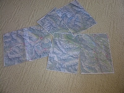
For maps, I usually purchase whole sets of country maps for any trip, and then photocopy A3 pages of the relevant sections to take. Firstly, Swiss Toppo maps are expensive (at almost $30 per sheet and you usually need 20 sheets per walk), they're heavy and they take up space. It's simple to A3 photocopy a section of each map for $1.75 each, glue a few sections together, and throw each section away when it's been walked.
