Monday 3rd July: Weather 10°C to 25°C Fine sunny and blue skies - about time!
Gavarnie Circuit: 16.5k walk: 30 min taxi ride + 8hrs 30mins walk. 11am to 8pm
Altitude Gain and Loss: Total Ascent 300m: Total Descent 1900m
Accommodation: Hotel Le Marbore
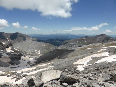
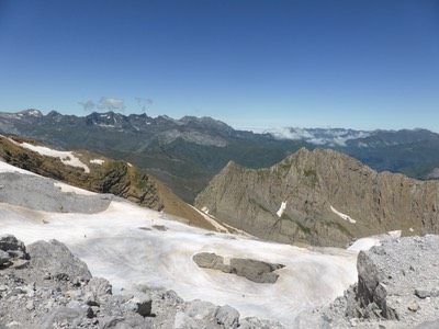
Our most spectacular day yet in the Pyrenees with every minute. highlight. We climbed with Bill and Joan to the 2804m Breche de Roland high in the Pyrenees on the border between France and Spain. An amazing day with blue skies, scattered snow on the Pyrenees and views out to France and back to Spain.
Our morning starts with a quick chat to home, emails, blogs and breakfast at 7.30am. Breakfast is a fantastic array of fresh breads, fresh fruits, yoghurts, cereals, cakes, and hot tea. We sit with Bill and Joan and they are undecided what to do today. But we have plans to somehow get to the Breche de Roland, a place I had wanted to see since I first started planing this trip to the Pyrenees, hence our diversion to Gavarnie. But the logistics weren’t obvious as to how to walk 1500m up and back on steep tracks - it would have taken us 12 to 14 hours.
So after breakfast, we visit the Tourist Office to find out where to get a taxi for part of the way. The taxi, we’re told, can be booked at the Les Glaciers Bar up the road and we do so for 35 Euro at 11am. Then up to the Petit Casino supermarche to buy a fresh baguette for lunch and we bump into Bill and Joan who are umming and ahring about where to walk for the day and in the blink of an eye, we’re all in the taxi heading up to the Col de Tentes to tackle the Breche de Roland. Our plan was to cut 11k distance and 800 metres elevation off the trek still leaving a long day - as it turned out longer than we thought and had we not caught a taxi we would have been back at midnight.
It’s a slow windy drive dodging sheep sleeping on the bitumen where it’s warm and sunny. At 11.30am, we’re out of the taxi, grabbing the drivers business card with phone number incase we need to ring for a lift back. It’s a beautiful blue sky day and the temperature is already 20°C and the car park is full with dozens of people already sprinkled along the track to the Breche which we can see on the other side. The first 2 km is easy peasy, very level and even bituminised for the thousands of visiting tourists who drive to the car park and walk just a few k to admire the magnificent views.
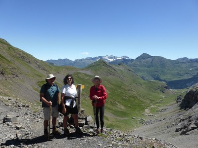
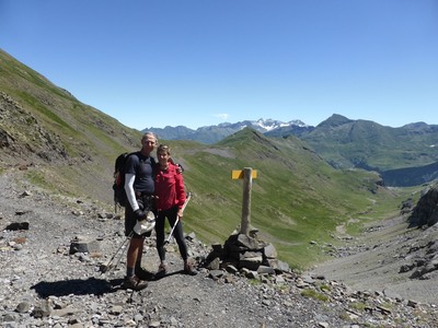
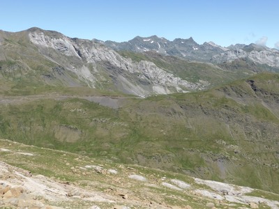
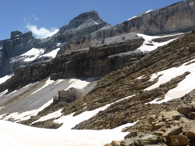
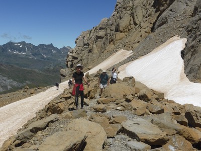
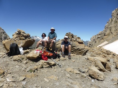
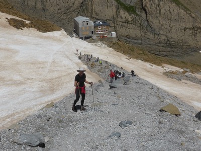
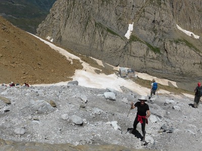
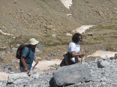
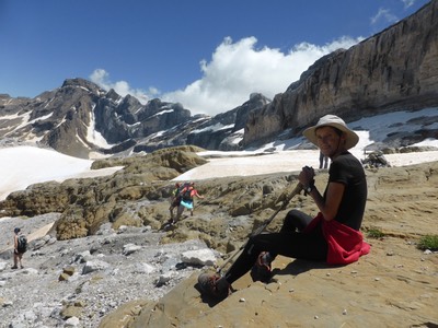
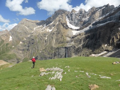
After and hour’s walking on level ground with so mant other walkers, the track takes a sharp turn upwards at the sign to the Refuge de Breche de Roland, one and a half hour’s away. The scenery is spectacular with blue skies, snow, green mountains and ragged mountains.The steep track crosses several snow drifts and after another 2hrs of climbing, we see the Refuge de Breche de Roland embalmed in scaffolding - a sign says its closed for renovation. It’s time for a coffee perched on a flat area with magnificent views all around - up, down to the left to the right. And at an elevation of 2587 metres, it’s now a beautiful 24°C with no breeze and even bluer skies - if that’s possible - a most perfect day!. Ian boils the jet boil and Joan and Bill, Ian and I sit and watch the pedestrian traffic pass by on their way down or up to the Breche de Roland, enjoying a coffee and a piece of fresh baguette.
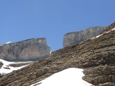
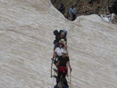
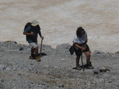
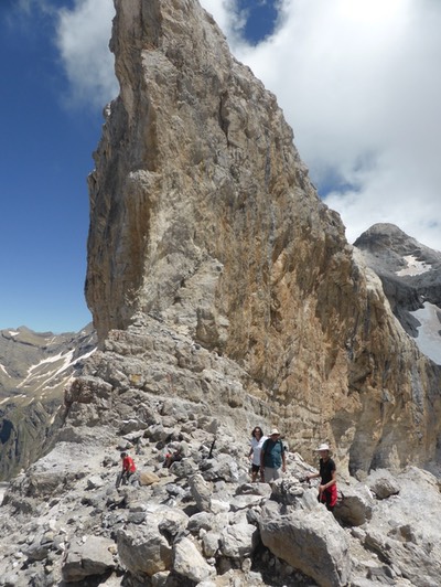
There’s still 220 metres to climb and we can see a trail of people climbing and slipping up the very steep narrow trail. Some are slipping on loose stones on the ridge, others electing to slip on a zig zag snowy track. We try the stones and it’s two steps up and one step back, digging in with poles to haul our selves up. We reach a little ledge where the Breche de Roland, this huge cut in the mountain, comes into full view set against a deep blue sky.
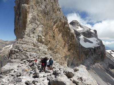
Breche de Roland is the name of a natural gap, 40 m across and 100 m high, at an elevation of 2804 m in the Pyrenees on the border of Aragón, northern Spain, and Hautes-Pyrénées, France. The gap is situated in the Ordesa y Monte Perdido National Park[2] on the Franco-Spanish border, close to the steep cliffs of the Cirque de Gavarnie. According to legend Roland's Breach was cut by Count Roland with his sword Durendal in an attempt to destroy the sword, after being defeated during the Battle of Roncesvalles in 778. Truth is it was carved by a glacier.
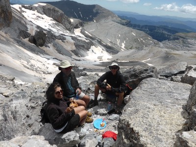
After more slipping and sliding we reach the foot of the last 20metre climb and scramble up rocks and crevices to reach the narrow rock ledge of Breche de Roland and see Spain spread before us on the other side. The views are truly magnificent all around on this most perfect day - not cold, not raining, not windy, not cloudy, not snowing - just a perfect 24°C under blue skies. Bill and Joan enjoy a salami baguette and we have a tomato and cheese baguette, watching hikers of all shapes, sizes and ages coming and going. There’s even some clambering up from the Spanish side.
At 3.15pm and after 30 minutes savouring the moment at the top, it’s time to slip down - literally -we choose the snow and there’s signs that others have slid down on their bums. At the Refuge, we make an executive decision to walk down a different way to Gavarnie via the Cascades and miss the taxi - seemed like a good decision at the time. The lady at the tourist office had said there would be magnificent views. There’s 4 others going this way - 2 boys ahead with a light day pack, and 2 campers behind - safety in numbers as it’s not the traditional route. !500 metres down is a long way down, and I estimate it will take about 3 hours. It’s now 3.40 so we should be in by 6.30 to 7pm. Hmmm!!
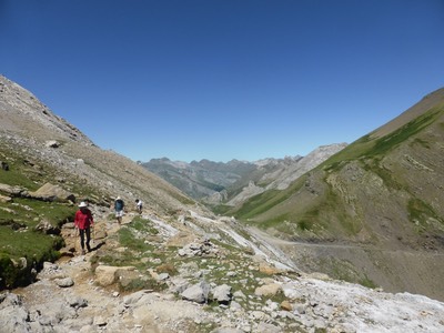
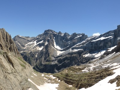
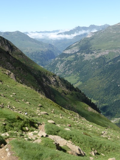
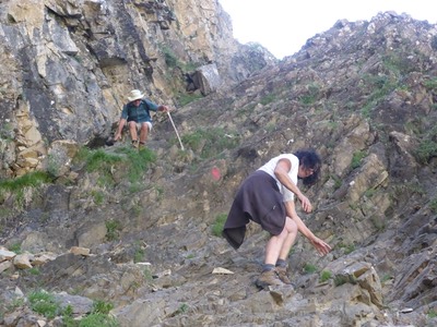
After an initial 100 metre drop to a long Vallee Pouey Aspe below, it’s easy walking for 30 minutes until we hit the ledge of the valley with a steep drop of 1400 metres to the next valley below. They call it the Eschelles des Sarradets ( Ladders of Sarradets) . It’s a good thing Joan and I aren’t carrying back packs and that Bill and Ian’s packs are light with just picnic lunches - these ladders are treacherous and never ending into the Vallee de Gavarnie below. It’s more like a stony chimney and we often needed hands to hang on as we clambered down - sometimes with very little signage.
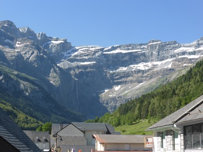
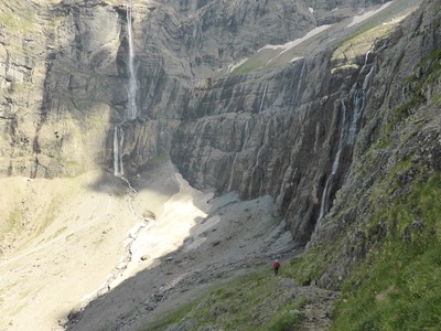
It’s 2 and a half hours of scaling down an at 6.15pm we get to the magnificent area they call The Cascades with several waterfalls water tumbling down hundreds of metres. One of them is the most famous of them all, the Gavarnie Falls a tiered waterfall with an overall drop of 422 metres, the highest waterfall in mainland France. The setting is amazing, surrounded by the high walls of the Cirque du Gavarnie.
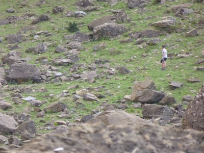
The 2 boys who descended ahead of us are already at the bottom and ask me if we’d seen a hidden bak pack with camping gear. In his broken English and my broken French, I discover that they’d camped at the cascades last night, and left their main back pack with all their camping gear hidden in a cave in the rocks, covered with stones then climbed to the Breche de Roland with just a small day pack. We’d seen them at the top. The problem was that after returning, they now couldn’t find the backpack in the spot they thought it was. For 40 minutes Joan Bill Ian and myself searched in every rock crevice and couldn’t find it. With so many day trippers to the cascades who had walked up the easy 3k from Gavarnie, we think it was nicked. I felt so sorry for the boys who were just out enjoying themselves, to have some scumbag steal their gear. They thanked us for looking and suggested we keep on going as it was already close to 7pm and the sun was setting behind the mountains.
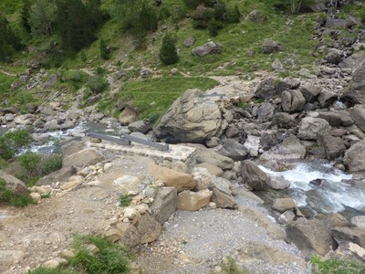
After 20 minutes of walking down the track towards the Hotellerie du Cirque, we discover that the bridge across the Gave de Gavarnie has been washed out and we have to retrace our steps to find a crossing over the snow fed fast running stream. Joan Bill and ian shed their shoes and wasde across at a shallow spot, I run back to where we started at the head waters to cross several small streams before they amalgamated into one thunderous rush.
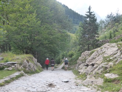
The rest of the walk down the stony road is so picturesque, and we’re so pleased we walked this way rather than return the same way as this morning to catch a taxi. It’s 8.10pm when we roll into Gavarnie and into our Hotel Le Marbore where we discover that dinner is only from 7 to 8. But our friendly waiter stalls the chef so we have time for a 10 minute shower and return to have 4 icy cold beers before dinner of steak and chips (Bill) Joan (veal) Ian (duck) and me (salad and roast potato). Such a lovely way to end a truly magnificent day that was so nice to share with friends.
We get to bed at 10pm - my blog will have to wait another day.
