Thursday 21st August: Morning misty and cold, Afternoon Sunny and warm 3°C to 15°C.
Grachen to Saas Almagell:29.8K: 8.00am to 6.30pm: 10hrs 30 mins
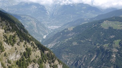
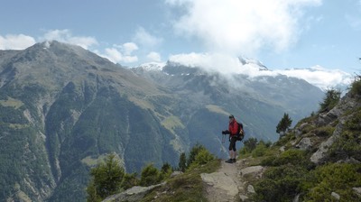
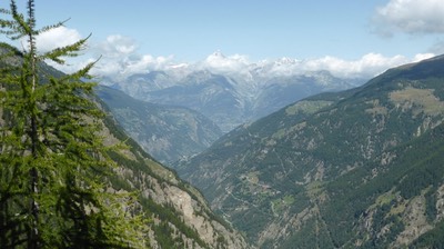
I'm too tired to type. Hilary Sharp's book Tour de Monte Rosa assured me it was only 19k from Grachen to Saas Almagell. But Ian's GPS measured it as 27k. And just to add to the distance, our Hotel at Furggstalden was a further 2.8k up the mountain from Saas Almagell making a total of 29.8k for the day. Just as well the scenery was spectacular today, and the weather though cold, was mostly sunny. We entered the Saastal Valley today, surrounded by dozens of 4000 metre mountain peaks, and walked along the Hohenweg, a spectacular walking path along the high ridge of the Saastal valley. And our Hotel was well worth the wait - just a small family run Swiss Restaurant/Hotel at the top of a gondola chairlift, high above Saas Almagell. A few beers and memories of our long hard day were all good.
We're awake at 5.30am. It's still dark outside. Time to catch up on emails, do Facetime with Bonnie, and pack for the day. We've already come to the dismal conclusion that the Berghotel Furggstalden is indeed almost 3k further up the mountain than our original destination of Saas Almagell. And we've also discovered that the gondola chairlift to the hotel ceases at 4.30pm. We know there's no way we can make it. I've sent off an email to the staff looking for other suggestions as to how to get up the mountain - Taxi? Bus? Hitch hike? But with no reply to my email, we're resigned to the fact that we'll have to walk.
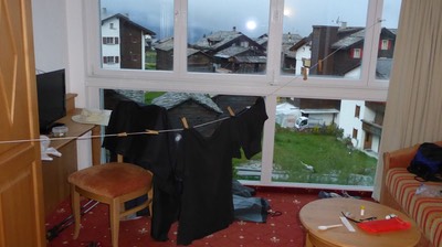
We drag our washing off our temporary clothes line strung around door handles then head downstairs. Breakfast is magnificent. Fresh bread with meats, cheeses, fruits, yoghurts and burcher meusli. It's only 5° C outside and will be colder up the mountain. We have a 700 metre climb to Hanigalp before getting on to the Hohenweg walking path along the balcony.
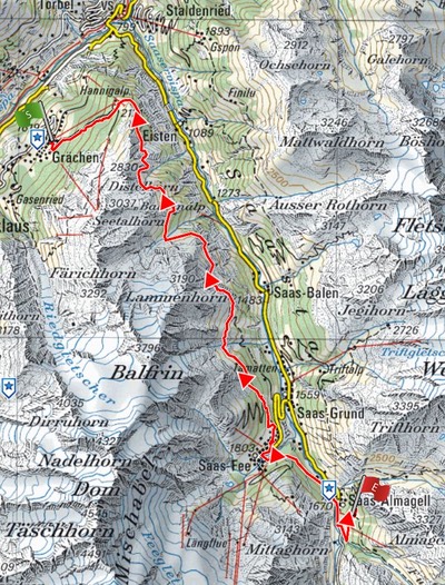
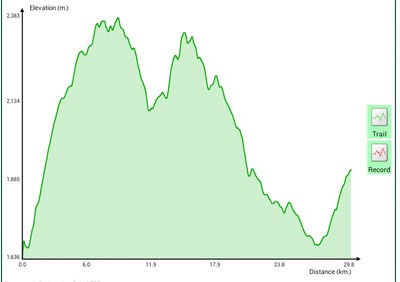
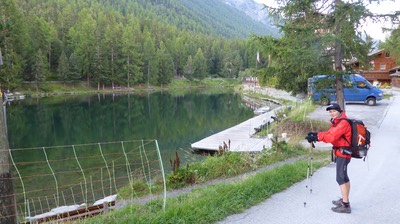
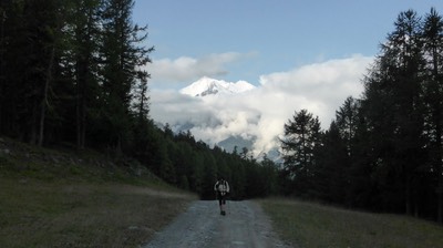
Ian sets his Samsung tablet equipped with software that maps our track, overlaid on the Swiss Topo maps. The GPS not only plots the track and measures the distance but also the height. The first two pictures show you the route map and height profile that Ian produces each night.
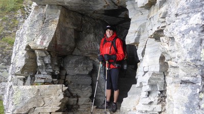
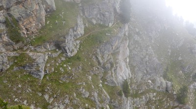
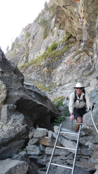
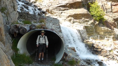
Leaving Grachen, we straight away start to climb up a gravel road. It's one hour of straight up to the chairlift summit of Hannigalp. The temperature has dropped to 2° C and it's intermittently misty with patches of blue sky. The Hohenweg winds it's way around sheer cliffs, with steel cable hand rails the only safety factor. There's tunnels through rocks, tunnels under waterfalls and ladders perched precariously against granite walls. But the Hohenweg is much more stable than yesterday's walk along the Europaweg.
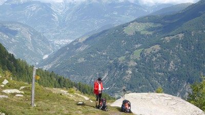
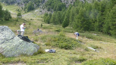
After a few hours, it's time for coffee - as much to warm up the hands as the insides. Ian carries his little jetboil, I cary the tea and coffee. There's quite a few day trekkers out. This path attracts people from all over. Everyone is rugged up for the cold and damp mist. But the mountain views are spectacular and well worth the discomfort.
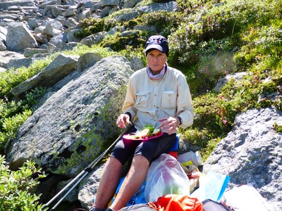
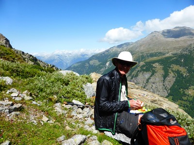
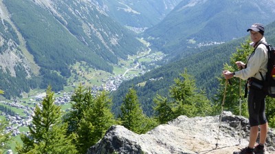
It's almost 2pm by the time we sit down to lunch after clambering up a rocky minefield 20 metres off the path to find a spot in the sun out of the wind. We're starving. It's mostly downhill from now on to Saas Fee. Walking down off the side of the bare mountain and into the pine forests, we can see deep in the valley the three villages of Saas Grund, Saas Fee and Saas Almagell. It's still a long way down.
2 hrs later and we walk into Saas Fee, a pretty town sitting on a grassy ledge just above the valley floor. It's mostly a ski resort and like Zermatt is carless except for the service cars. Walking down the street, we buy bread and two tomatoes, enough to add to our supply for lunch tomorrow. There's signs to Saas Almagell, which we follow down the valley. As expected, the gondola chairlift closed at 4.30pm and it's already 5.30pm. There's no taxis, buses or for that matter, no cars heading up to Furggstalden, so we bite the bullet and start walking the almost 3k up the road through the pine forrests to the Berghotel perched on a ledge overlooking the Saas Valley.
It's all uphill but a steady grade and 40 minutes later where inside the hotel drinking 2 large beers, peered at by 4 local men playing cards by the fire. Dinner is served at 6.30 - gnocchi and cheese, a beautiful salad, curried chicken and rice, followed by ice cream, cream and coffee topping. We're so tired we crawl up to bed. It's really cold outside but our room is warm. It's a simple room, with showers - really hot showers - up the corridor. There's only one other couple staying the night. Clearly not many people want to walk 3k up a mountain just to get a bed for the night.
