Sunday 3rd July: Brilliant blue skies, 8°C to 24°C
Bousieyas to Larche: 22k walk: 7.45am to 5.15pm: 9 hrs 30 mins
Accommodation: Relais d'Italie
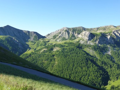
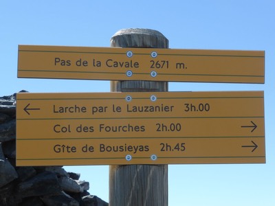
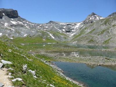
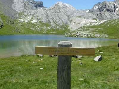
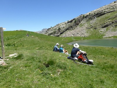
Today was a stunning day in the alps with blue skies all day. Highlight was climbing 1000 metres to the Pas de la Cavale at 2671 metres then down 1000 metres to Larche. A close second highlight was lunch at Lake du Lauzanier, high in the alps at 2284 m, with hundreds of families picnicking by the lake.
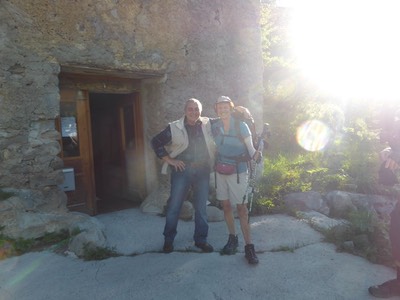
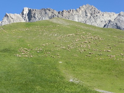
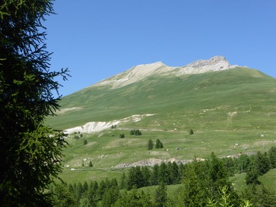
Breakfast is at 7am. Michel has the fire on as it's a cold 8°C. Bread, butter and jam with sweet breads and hot coffee or tea – his presentation made us feel like special guests. He told us to be over Pas de la Cavale before midday in case of afternoon storms so we leave early at 7.45am. Our 400 m climb to the first col criss crosses a road, then past a deserted Italian military post near the Italian border, past sheep on a green hill like maggots on a lettuce leaf and soon we're at Col des Fourches at 2267 metres. A bearded hiker sits there beside his worn-out shoes, rubbing his blistered toes. He's walked 1000km from Bordeaux.
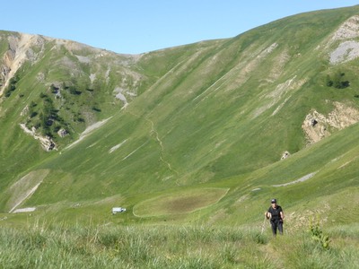
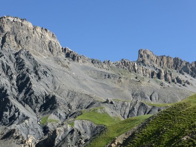
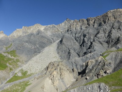
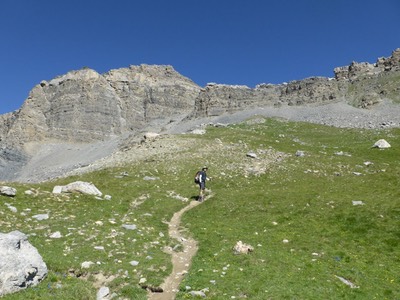
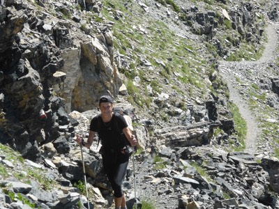
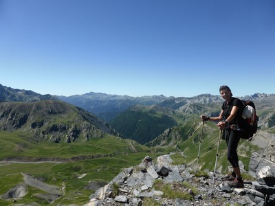
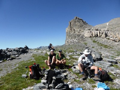
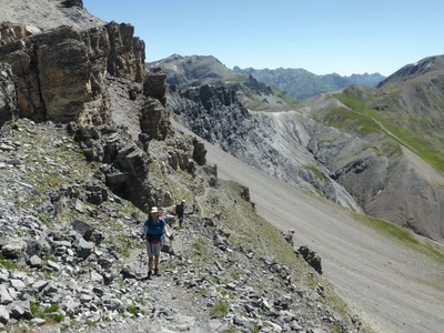
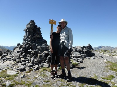
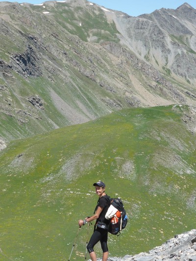
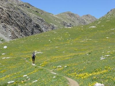
We go down 200 metres before climbing 600 metres to our next col, the Pas de la Cavale at 2671 metres. The climb starts gently through flowery meadows which turns to a steep gravelly, rocky path then to a small flat plateau where a few hikers are perched. Ian and I continue and take 3 hrs to get to the Pas de la Cavale, a famed pass on the GR5 but Jenny and Graham had stopped for as early morning tea half way up, so we have tea and cake at the Pas while we wait for them. A young couple, one from France, one from Belgium have come up from the opposite side and join us in a cup of tea. Bearded blister man arrives, takes his shoes off, rolls a cigarette, and lays back to enjoy the view. More day hikers arrive.
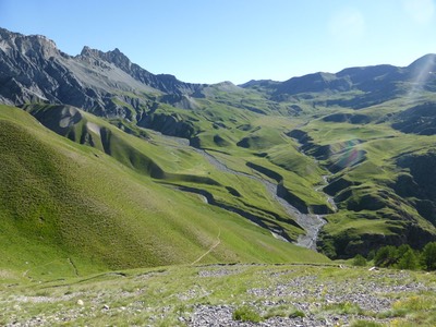
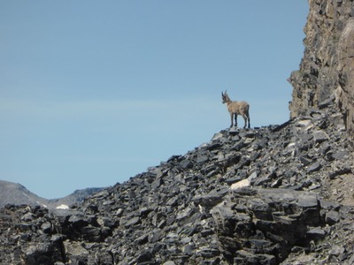
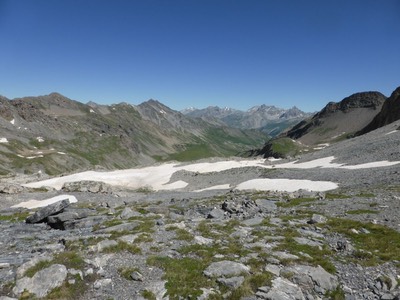
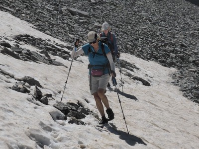
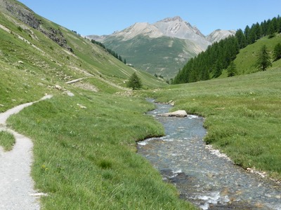
Jenny and Graham arrive 30 minutes later for another cuppa. A mountain goat poses for photographs on a rocky outcrop near by. The day is so beautiful that we don't want to leave. At 12.45pm we start down the northern side through large patches of snow then descend on a stony path to the Valley of Lauzanier. It takes an hour to reach the grassy meadow below the shale. The track then winds way past several glacial lakes, and at 1pm, I'm looking for a lunch spot in the shade. Further down, we see people having a picnic beside Lake Lauzanier and we decide to stop there for lunch. It’s spartan. There’s no shop in Bousieyas so Michel gave us a baguette to have with jam, nutella and honey. I count 70 people having lunch by the icy cold lake. A few young girls brave the icy waters up to their knees.
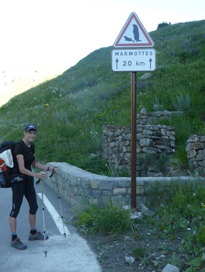
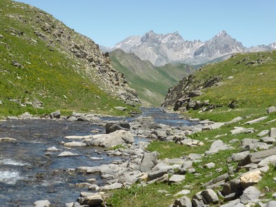
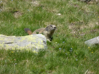
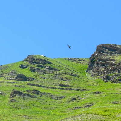
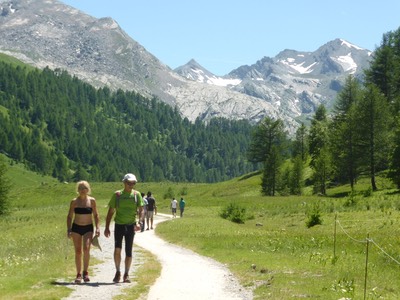
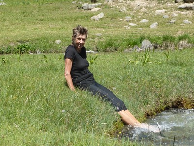
The path through the valley is crowded with Sunday walkers and fat marmots who begin to screech. I turn to see two large vultures circling above. Ian takes many photos of blue sky before one photo reveals the large 1.5m wing span of these birds. At 3.00pm we reach a full car park at the junction of the path and road. Time for afternoon tea under a pine tree near a fast flowing stream. I strip off my socks to put my feet in the icy water which I can only tolerate 15 seconds. Then we're back on the road with 5 k to go Larche. It's cooler to walk on the valley road busy with cars and we have to stand aside for them to pass.
An hour later, we're at Les Marmots, a camp ground with the only store in Larche. We buy tomatoes, cheese and bread for the next two days when we'll be in 3 refuges in a row. It’s one k down a grassy track into Larche - a strange village of a tourist office, Mairie, church, 4 hotels, a bank and 2 houses. It's on a main road, the D900 through the valley so is just a service village.
We easily find the Relais d'Italie. People are drinking outside under umbrellas, so we've no sooner been shown to our rooms on the 3rd floor, than we're downstairs having an icy cold Heineken draught beer after a long 22k day in 9 hours. Back to our rooms to shower and wash clothes. There's no WiFi so Graham is soon down having another drink while I sort photos before we all join him. Dinner at 7.30pm is nice - thin soup loaded with vegetables, roast chicken and purple sweet potatoes, followed by cheese or fruit salad. The European soccer is on - France is 2-0 up on Iceland at half time when we go to bed.
